


Precinct 15, Richland Parish, Louisiana
About
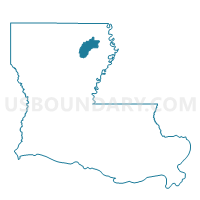
Outline

Summary
| Unique Area Identifier | 590389 |
| Name | Precinct 15 |
| County | Richland Parish |
| State | Louisiana |
| Area (square miles) | 0.23 |
| Land Area (square miles) | 0.23 |
| Water Area (square miles) | 0.00 |
| % of Land Area | 100.00 |
| % of Water Area | 0.00 |
| Latitude of the Internal Point | 32.47524280 |
| Longtitude of the Internal Point | -91.75877180 |
Maps


Graphs
Select a template below for downloading or customizing gragh for Precinct 15, Richland Parish, Louisiana


Neighbors
Neighoring Voting District (by Name) Neighboring Voting District on the Map
- Precinct 13, Richland Parish, LA
- Precinct 14, Richland Parish, LA
- Precinct 18, Richland Parish, LA
- Precinct 22, Richland Parish, LA
Top 10 Neighboring County Subdivision (by Population) Neighboring County Subdivision on the Map
- District 5, Richland Parish, LA (2,897)
- District 3, Richland Parish, LA (2,141)
- District 6, Richland Parish, LA (1,393)